
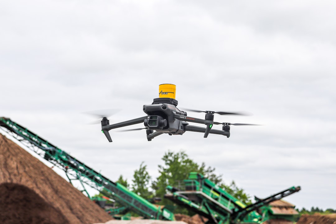
Drones are no longer experimental gadgets reserved for hobbyists—they are now essential business tools for industries ranging from construction to agriculture. As organizations scale their drone operations, managing fleets, processing aerial data, and maintaining compliance becomes increasingly complex. That’s where drone fleet management platforms come in. These tools centralize flight planning, data processing, analytics, compliance tracking, and team collaboration in one streamlined dashboard.
TLDR: Drone fleet management platforms help businesses efficiently plan flights, manage pilots, monitor equipment, and analyze aerial data at scale. While DroneDeploy is a popular choice, several powerful alternatives offer specialized features for enterprise, public safety, energy, and construction sectors. This article explores six leading platforms, compares their core strengths, and explains how they help organizations unlock the full value of aerial intelligence.
Contents
Why Drone Fleet Management Platforms Matter
Operating a single drone is simple. Managing dozens or hundreds across multiple locations? That requires automation, reporting systems, and robust data workflows. A solid fleet management platform helps you:
- Schedule and automate missions
- Track fleet health and maintenance logs
- Manage pilots and compliance documentation
- Process aerial images into maps and 3D models
- Collaborate with stakeholders in real time
- Extract actionable insights from aerial data
Without centralized management, organizations risk data silos, regulatory issues, and operational inefficiencies.
6 Drone Fleet Management Platforms Like DroneDeploy
1. Pix4D
Best for: Advanced photogrammetry and 3D mapping projects
Pix4D is one of the most respected names in drone mapping and photogrammetry. While it is often compared to DroneDeploy for its mapping capabilities, Pix4D stands out for its precision and industry-specific solutions.
Key Features:
- High-accuracy 2D and 3D mapping
- Desktop and cloud processing options
- Industry-specific modules (construction, agriculture, surveying)
- Strong integration with surveying hardware
Pix4D gives professionals deep control over processing parameters, making it ideal for surveying, mining, and engineering projects that demand precision.
2. Airware (Commercial Drone Automation Platforms)
Best for: Enterprise-level drone operations
Although Airware shifted focus in recent years, it helped set a blueprint for enterprise drone fleet management. Today, similar enterprise-focused platforms offer comparable automation-first solutions tailored to large organizations in energy, utilities, and infrastructure sectors.
Core Capabilities:
- Fleet-wide operational oversight
- Compliance management tools
- Automated data workflows
- Enterprise integrations
Enterprise-grade systems focus less on hobbyist accessibility and more on scalability and automation across multiple operational sites.
3. Skyward (by Verizon)
Best for: Regulatory compliance and flight operations management
Skyward specializes in safe, compliant drone operations. It is particularly useful for teams that must adhere to strict aviation regulations.
Notable Features:
- LAANC authorization support
- Airspace intelligence tools
- Pilot credential tracking
- Fleet and maintenance logs
By combining aviation-grade airspace awareness with fleet oversight, Skyward reduces regulatory risk while keeping operations centralized.

4. Measure (Aerodyne Group)
Best for: Turnkey drone program development
Measure (now part of Aerodyne) offers not just software but full drone program support. It enables organizations to build, scale, and optimize drone operations with managed services.
Strengths Include:
- Cloud-based asset inspection tools
- Data capture standardization
- Operations and safety management
- Industrial-grade analytics
This is particularly useful for utilities, telecom, and energy companies that need inspection data processed into actionable reports without building everything in-house.
5. DroneSense
Best for: Public safety and emergency response
DroneSense is purpose-built for law enforcement, fire departments, and emergency response units. Fast deployment, live streaming, and secure data handling are central to its design.
Core Tools:
- Live video streaming to command centers
- FAA-compliant flight logging
- Evidence management workflow
- Secure cloud storage
In critical situations, having fast, reliable aerial insight can dramatically improve response outcomes. DroneSense emphasizes speed, collaboration, and chain-of-custody data controls.
6. Delair.ai
Best for: Industrial inspections and asset intelligence
Delair.ai focuses heavily on infrastructure, mining, railways, and energy sector analytics. It combines drone hardware compatibility with advanced AI-driven analysis.
Key Advantages:
- AI-powered defect detection
- Long-range inspection capabilities
- Scalable data management
- Enterprise-level analytics dashboards
Delair turns massive volumes of aerial imagery into structured asset intelligence dashboards that support predictive maintenance programs.
Comparison Chart
| Platform | Primary Strength | Best For | Mapping & 3D Modeling | Compliance Tools | Enterprise Scalability |
|---|---|---|---|---|---|
| Pix4D | Advanced photogrammetry | Surveying, construction, mining | Excellent | Moderate | High |
| Airware-style Enterprise Platforms | Automation & integration | Large infrastructure firms | Good | Strong | Very High |
| Skyward | Airspace & compliance | Regulated industries | Moderate | Excellent | High |
| Measure (Aerodyne) | Program management | Utilities & telecom | Good | Strong | Very High |
| DroneSense | Public safety workflows | Law enforcement, fire departments | Basic to Moderate | Strong | Moderate |
| Delair.ai | AI-driven inspections | Energy & industrial sectors | Excellent | Strong | Very High |
Key Features to Look for in a Drone Fleet Platform
Choosing the right platform depends on your organization’s goals. Here are critical elements to evaluate:
1. Scalability
Can the system support 5 drones today and 150 next year? Enterprise flexibility matters.
2. Regulatory Compliance
Look for built-in airspace intelligence, pilot license tracking, and automatic flight logs.
3. Automated Data Processing
The faster imagery becomes maps and actionable models, the more value your drone program delivers.
4. Integration Capabilities
Does the platform connect with your GIS, asset management, or enterprise systems?
5. Security & Data Ownership
Particularly for enterprise and public safety use, strict data governance is essential.
Industries That Benefit Most
While nearly every sector can leverage aerial data, these industries gain the most from structured fleet platforms:
- Construction: Track project progress and monitor site safety.
- Agriculture: Analyze crop health and irrigation patterns.
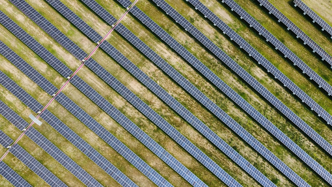
- Energy & Utilities: Inspect power lines, turbines, and solar installations.
- Telecommunications: Evaluate tower conditions quickly and safely.
- Public Safety: Improve emergency situational awareness.
- Mining: Conduct volumetric measurements and terrain analysis.
The Future of Drone Fleet Management
The next evolution of drone platforms will likely combine AI-driven insights, automated flight paths, edge processing, and real-time reporting. Instead of merely capturing aerial imagery, future systems will recommend maintenance schedules, detect anomalies automatically, and generate predictive analytics from historical flight data.
We’re also seeing tighter integration with IoT devices and enterprise software ecosystems, making drone-generated data part of larger operational intelligence frameworks.
Final Thoughts
DroneDeploy may be one of the most recognized names in drone mapping, but it’s far from the only powerful option available. Platforms like Pix4D, Skyward, Measure, DroneSense, Delair.ai, and other enterprise automation systems provide specialized capabilities that cater to different operational goals.
Ultimately, the best drone fleet management platform is the one that aligns with your scale, regulatory environment, and data needs. Whether you’re managing construction sites, responding to emergencies, or inspecting industrial infrastructure, a centralized drone management system transforms aerial data into measurable business value.
As drone adoption continues to accelerate, investing in the right fleet management platform isn’t just about efficiency—it’s about gaining a strategic edge through smarter, faster, and safer aerial intelligence.